Lerderderg State Park is located approximately 6km north of Bacchus Marsh.
I’ve always wanted to visit, but for whatever reason, that has never happened until now.
I was heading to Melbourne to see the musical Moulin Rouge, and my 3-hour long run was planned out for the You Yangs.
However, thanks to COVID, I had to change those said plans, which gave me an opportunity to cross Lerderderg off my list.
Knowing it was going to get to a warm 31°c I knew I wanted to get there early to be done no later than noon. Having never been to the area before I asked the Melton City Runners group on Facebook for advice and tips.

The runners there were extremely helpful, and most recommended a track called “The Big Fat Wombat”.
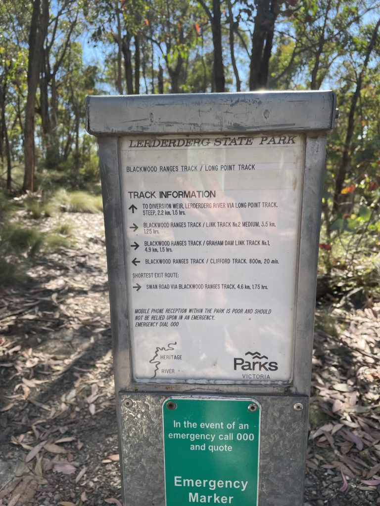
It’s approx a 20km loop and can take anywhere from 3-4 hours.
Russell, a local, sent me the GPX file, so I was able to load it onto my watch, which meant I was less likely to get lost.
Arriving at the Mackenzie Flat Picnic area just after 8 am, I slathered myself in sunscreen, checked my gear, and headed off.
When using the ‘routes’ feature on my Polar Grit X it will actually tell you when you go off course.
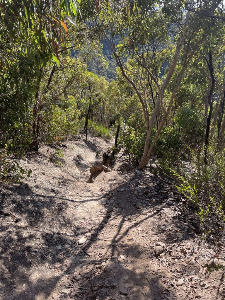
Being a state park and underfunded track markings are few and far between. Having the map on my watch was extremely handy in informing me when I headed in the wrong direction. Which happened more often than I expected.
The only downfall, which is a common problem with GPS’s in general, is that it has a hard time with elevation.
My watch would alert me I was off course, when clearly I wasn’t, I was just climbing a very steep mountain.
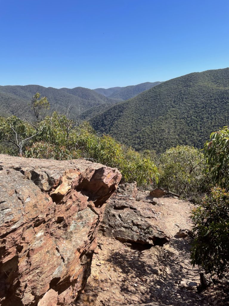
The conditions of these tracks are really for experienced walkers and hikers. If you own poles, I recommend using them. The terrain while climbing and descending the valleys are best described as scree (loose broken rock fragments), making it extremely slippery.
It took me easily 20 minutes to do 1km, with 300m of elevation.
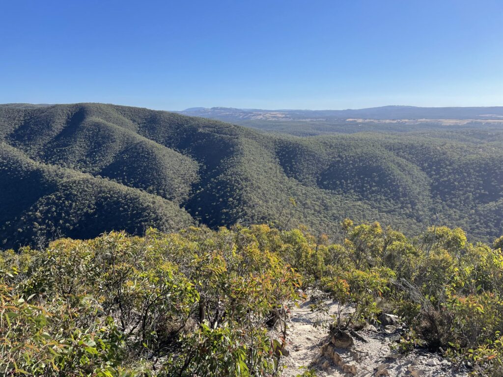
Once climbing out of the valley, I hit a fire line with rolling hills.
Checking the stats on my watch, I knew that the full loop wasn’t going to happen in my 3-hour window. I decided to just do a there and back once I got to 90 minutes (which happened to be the 8km mark).
Safety always comes first. Especially since I had never been to the area before and was unfamiliar with the terrain. I also had a feeling I was running low in water.
Running out of water in hot conditions is not ideal. I knew I would have access to water once I was down in the valley if I was desperate, but you can’t always rely on that there will actually be water. Especially during the summer.
When I come back, I will turn off here.
Coming down back into the valley was just as much work as climbing out of the valley.
There were so many places where you can easily wander off track. If it weren’t for having the map on my watch I could have easily gotten lost.
Running along the river, was actually quite refreshing. There are points where you have to cross the river. While I didn’t drink the water, I did take the opportunity to cool myself down with a few splashes.
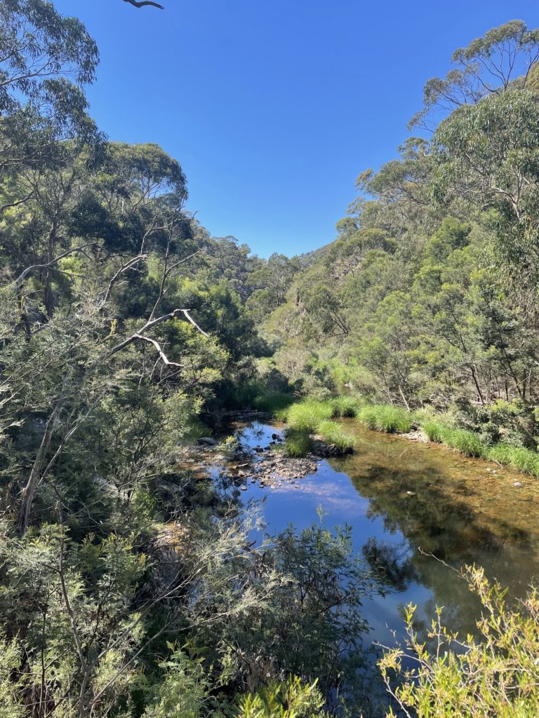
With 2km to go, all my water was gone. So it was just as well, I didn’t do the full loop, as I would have run out of water, with easily an hour more of running to do.
Arrive back at the picnic area I covered just shy of 17km in 3 hours.
While I would have loved to have covered more distance in those 3 hours. Every run is a learning experience.
At the car, I took in some water and ate my trail mix.
I then put my swimmers on and went back to the water hole for a dip.
The water was utterly delightful. It was so nice to get rid of all the dirt and grime from my adventure.
However, without anyone to enjoy it with (Tom and the kids), I didn’t stay in the water for long.
After my 15 minute swim, I headed back to the car, changed into dry clothes, and started my journey back home, with of course a detour to get lunch.
Thank you Lerderderg for the adventure. I look forward to coming back to do more exploring.
Top: UTA Singlet
Bottoms: Boody Motivate Shorts
Socks: Bonds sports
Shoes: Brooks Cascadia 16 with Trail Gaiters
Fuel: Water, Cliff gel/chews, Golden Circle fruit pouch
It was announced in June 2021 that Lerderderg (along with a few other parks), would become national parks by 2030. You can read more about that here: New National Parks for Victoria